North of England leaflet distribution
This is the section of the United Kingdom, we label England North and consists of 28 Postal areas, which are all available for your flyers to be delivered to. View the Postal areas below, where you can follow and enquire about leaflet distribution with our team in the area.
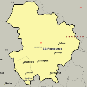
The BB postcode area, also known as the Blackburn postcode area, covers east Lancashire, including Blackburn, Burnley, Accrington, Barnoldswick, Clitheroe, Colne, Darwen, Nelson and Rossendale.
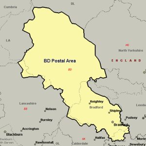
The BD postcode area, also known as the Bradford postcode area, covers northwestern West Yorkshire (including Bradford, Bingley, Shipley, Cleckheaton and Keighley) and southwestern North Yorkshire (including Skipton and Settle), plus very small parts of Lancashire.
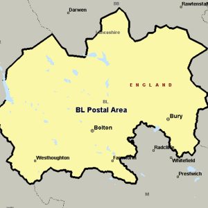
The BL postcode area, also known as the Bolton postcode area covers most of the Metropolitan Borough of Bolton and the northern and central parts of the Metropolitan Borough of Bury in Greater Manchester, plus small parts of the boroughs of Chorley, Rossendale and Blackburn with Darwen in Lancashire.
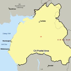
The CA postcode area, also known as the Carlisle postcode area, covers northern and central Cumbria, including Carlisle, Penrith, Workington, Whitehaven, Maryport, Cockermouth, Egremont, Alston, Appleby-in-Westmorland, Beckermet, Brampton, Cleator, Cleator Moor, Frizington, Holmrook, Keswick, Kirkby Stephen, Moor Row, Ravenglass, Seascale, St Bees and Wigton, plus a very small part of Northumberland.
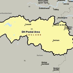
The DH postcode area, also known as the Durham postcode area, covers northern County Durham (including Durham, Chester-le-Street, Consett and Stanley) and south-west Tyne and Wear (including Houghton-le-Spring), plus a very small part of Northumberland.
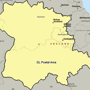
The DL postcode area, also known as the Darlington postcode area, covers central County Durham (including Darlington, Bishop Auckland, Ferryhill, Crook, Spennymoor, Shildon, Barnard Castle and Newton Aycliffe), northern North Yorkshire (including Northallerton, Bedale, Hawes, Leyburn, Richmond and Catterick Garrison) and a very small part of Cumbria.
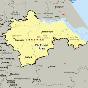
The DN postcode area, also known as the Doncaster postcode area, covers eastern South Yorkshire (including Doncaster), north Lincolnshire (including Grimsby, Scunthorpe, Barnetby, Barrow upon Humber, Barton-upon-Humber, Brigg, Cleethorpes, Gainsborough, Immingham and Ulceby), small parts of Nottinghamshire (including Retford) and the East Riding of Yorkshire (including Goole), and a very small part of North Yorkshire.
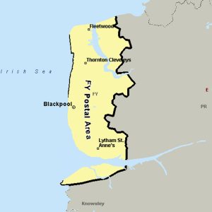
The FY postcode area, also known as the Blackpool postcode area, covers the western half of the Fylde plain (to which the letters in the postcode refer) on the west coast of Lancashire, including Blackpool, Thornton-Cleveleys, Poulton-le-Fylde, Fleetwood and Lytham St Annes.
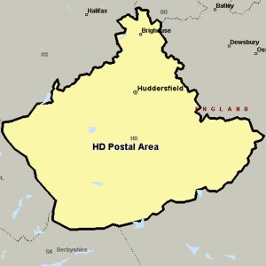
The HD postcode area, also known as the Huddersfield postcode area, covers southern West Yorkshire, including Huddersfield and Holmfirth in the Metropolitan Borough of Kirklees, and Brighouse in the Metropolitan Borough of Calderdale.
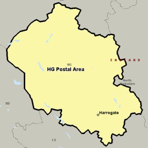
The HG postcode area, also known as the Harrogate postcode area, covers Harrogate, Ripon and Knaresborough in North Yorkshire.
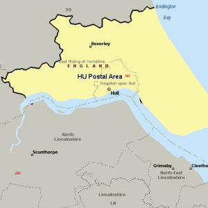
The HU postcode area, also known as the Hull postcode area, covers the south of the East Riding of Yorkshire, including Hull, Beverley, Cottingham, Hessle, Hornsea, Withernsea, Brough and North Ferriby.
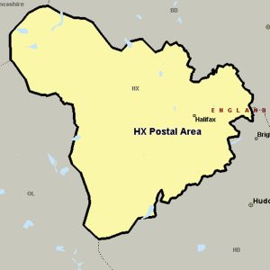
The HX postcode area, also known as the Halifax postcode area, covers most of the Metropolitan Borough of Calderdale in western West Yorkshire, including Halifax, Elland, Sowerby Bridge and Hebden Bridge.
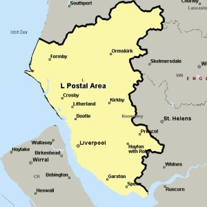
The L postcode area, also known as the Liverpool postcode area, covers most of Merseyside (including Liverpool, Bootle and Prescot), part of west Lancashire (including Ormskirk) and a small part of north-west Cheshire.
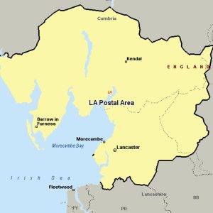
The LA postcode area, also known as the Lancaster postcode area, covers north Lancashire (including Lancaster, Morecambe and Carnforth), south Cumbria (including Barrow-in-Furness, Kendal, Ulverston, Windermere, Dalton-in-Furness, Millom, Milnthorpe, Sedbergh, Grange-over-Sands, Askam-in-Furness, Kirkby-in-Furness, Broughton-in-Furness, Coniston and Ambleside) and a small part of North Yorkshire.
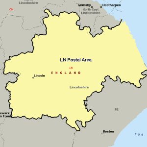
The LN postcode area, also known as the Lincoln postcode area, covers central Lincolnshire, including Lincoln, Alford, Horncastle, Louth, Mablethorpe, Market Rasen and Woodhall Spa.
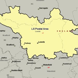
The LS postcode area, also known as the Leeds postcode area, covers northern West Yorkshire (including Leeds, Wetherby, Pudsey, Otley and Ilkley) and some parts of North Yorkshire (including Tadcaster).
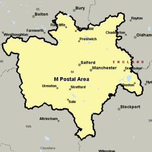
The M postcode area, also known as the Manchester postcode area, is a group of postcode districts in the North West of England.
The districts are subdivisions of three post towns: Manchester, Salford and Sale and cover parts of all ten boroughs of Greater Manchester, primarily the cities of Manchester and Salford and the majority of the borough of Trafford.
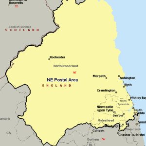
The NE postcode area, also known as the Newcastle upon Tyne postcode area, covers most of Tyne and Wear (including Newcastle upon Tyne, Gateshead, North Shields, South Shields, Wallsend, Whitley Bay, Hebburn, Jarrow, Washington, Blaydon-on-Tyne, East Boldon, Boldon Colliery, Rowlands Gill and Ryton) and Northumberland (including Blyth, Morpeth, Hexham, Alnwick, Cramlington, Bedlington, Ashington, Prudhoe, Bamburgh, Riding Mill, Choppington, Corbridge, Seahouses, Newbiggin-by-the-Sea, Stocksfield, Haltwhistle, Wylam, Chathill, Belford and Wooler), plus a very small part of northern County Durham.
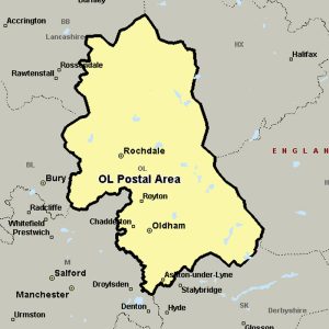
The OL postcode area, also known as the Oldham postcode area, covers eastern Greater Manchester (including Oldham, Rochdale, Ashton-under-Lyne, Heywood and Littleborough), plus small parts of east Lancashire (including Bacup) and western West Yorkshire (including Todmorden).
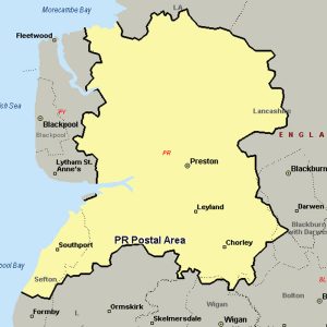
The PR postcode area, also known as the Preston postcode area, covers south-west Lancashire (including Preston, Chorley and Leyland) and north Merseyside (including Southport).
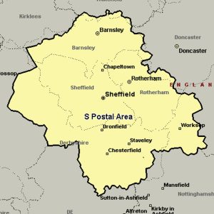
The S postcode area, also known as the Sheffield postcode area, covers most of South Yorkshire (including Sheffield, Barnsley, Rotherham and Mexborough), parts of north Derbyshire (including Chesterfield, Dronfield and the Hope Valley) and north-west Nottinghamshire (including Worksop), plus a small part of West Yorkshire.
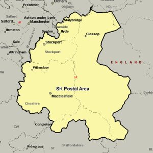
The SK postcode area, also known as the Stockport postcode area, covers south-east Greater Manchester (including Stockport, Cheadle, Hyde, Stalybridge and Dukinfield), parts of east Cheshire (including Macclesfield, Wilmslow and Alderley Edge), north-west Derbyshire (including Buxton, High Peak and Glossop) and a small part of north Staffordshire.
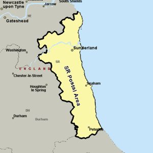
The SR postcode area, also known as the Sunderland postcode area, covers eastern Tyne and Wear (including Sunderland) and north-east County Durham (including Seaham and Peterlee).
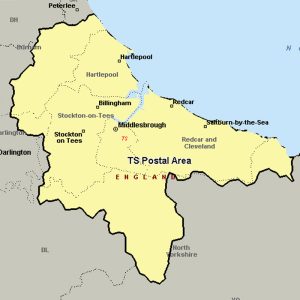
The TS postcode area, also known as the Cleveland postcode area, covers north-east North Yorkshire (post towns Middlesbrough, Redcar, Saltburn-by-the-Sea, Guisborough and Yarm) and south-east County Durham (post towns Stockton-on-Tees, Hartlepool, Billingham, Wingate and Trimdon Station).
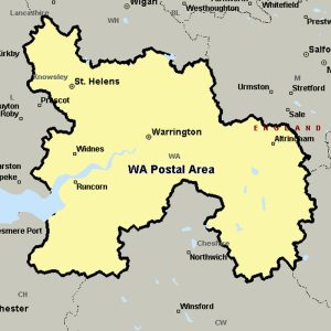
The WA postcode area, also known as the Warrington postcode area, covers north Cheshire (including Warrington, Frodsham, Knutsford, Lymm, Runcorn and Widnes), eastern Merseyside (including St Helens and Newton-le-Willows) and small parts of Greater Manchester (including Altrincham).
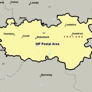
The WF postcode area, also known as the Wakefield postcode area, covers much of southern and eastern West Yorkshire (including Wakefield, Pontefract, Dewsbury, Batley, Castleford, Heckmondwike, Knottingley, Liversedge, Mirfield, Normanton and Ossett), plus small parts of South and North Yorkshire.
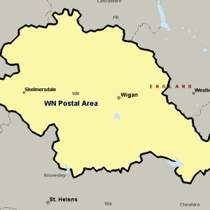
The WN postcode area, also known as the Wigan postcode area, covers most of the Metropolitan Borough of Wigan in Greater Manchester (including Wigan itself and Leigh), plus small parts of West Lancashire (including Skelmersdale) and the Metropolitan Borough of St Helens in Merseyside.
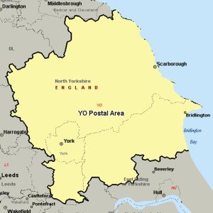
The YO postcode area, also known as the York postcode area, covers most of Central and Eastern North Yorkshire (including York, Scarborough, Pickering, Selby, Thirsk, Malton, Filey and Whitby) and the northern part of the East Riding of Yorkshire (including Bridlington and Driffield). The rest of North Yorkshire is split between the TS, DL, and HG postcode areas.

